AHEM
Automatisches Hydrologisches Echtzeitmodell (Automatic Hydrological Real-time Model). North Rhine-Westphalia research consortium 2009–2012, funded under the regional Wachstum für Bochum (WFBO) programme. With the Geography Institute of Ruhr University Bochum as scientific partner and three end-users from water management and contaminated-site monitoring. The hardware roots of today's Aquatos loggers lie here.
AHEM
Automatic Hydrological Real-time Model — continuous capture of hydrological and water-quality parameters across spatially distributed measurement points, fed into a central model with maps, charts and alerting.
AHEM was the first major R&D project in which TerraTransfer developed the core building blocks of today's Aquatos family: wireless 433-MHz short-range radio with a configuration dongle, IP68 connectors on the logger housings, a one-inch radio mini-logger and a GPRS gateway that aggregates up to 24 wireless sensors. This topology is the direct precursor of the current Aquatos logger architecture.
The work was scientifically supported by a four-person team at the Geography Institute of Ruhr University Bochum drawn from physical geography, hydrology, soil science and geomatics. TerraTransfer was still based at Feldstraße 4 in Bochum at the time.
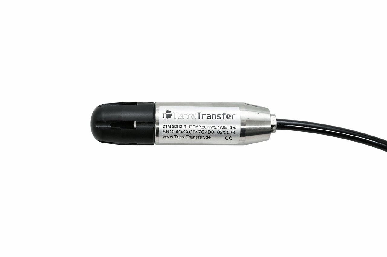
Pressure and conductivity sensors in robust field housings were a core outcome of AHEM.
Project partners
- Ruhr University Bochum Geography Institute, scientific support and analysis
- LINEG Linksniederrheinische Entwässerungs-Genossenschaft, subsidence zones Niep and Alpen on the Lower Rhine
- City of Bochum (lower water authority) Coal-mining tip site, contaminated-site monitoring with active e-mail/SMS alerting
- Ruhrverband Bigge reservoir catchment (around 300 km², Sauerland region), rainfall-runoff modelling
- TerraTransfer GmbH Hardware and platform development, site build-out and operation
Field sites
- Coal-mining tip in Bochum Seepage water and surface runoff from a post-mining landscape in the urban area
- LINEG measurement network on the Lower Rhine Subsidence zones Niep and Alpen, improvement of the forecasting model for groundwater regulation
- Bigge reservoir (Ruhrverband) Soil moisture, evapotranspiration, runoff readiness, groundwater — rainfall-runoff model over around 300 km² of catchment
Technical building blocks (state of 2009–2012)
- Autonomous field loggers in IP68 housings with solar and battery supply, new logger housings with IP68 connectors for BUS loggers and pF probes
- One-inch radio mini-logger with compact board layout, up to 500 m range to the gateway (a tenfold improvement over the previous generation)
- 433-MHz short-range radio and a configuration dongle for wireless commissioning in the field, replacing RS-232 cables and wiring
- GPRS gateway aggregating up to 24 wireless sensors and forwarding the data to the internet server (state of 2009: GPRS was the cellular standard)
- Capture of water level, conductivity, pH, temperature, soil moisture and precipitation — spatially distributed across all three field sites
- Linux backend (Debian, PostgreSQL/PostGIS, PHP) with a rich-internet-app frontend and WebGIS maps — early forerunner of today's Sensormanager
- Active alerting via e-mail and SMS on threshold violations, deployed at the City of Bochum tip site
What lives on today
The concepts tested in AHEM fed directly into the Aquatos product line: robust field housings with sealed cable glands, station builds with solar and battery supply, a central measurement-data platform and the principle of attaching several sensors to a single logger. AHEM was thus the starting point for a product family that today operates more than 20,000 loggers on the market.
Interested in a research partnership?
We bring measurement hardware, platform development and experience with public agencies. Get in touch if you are planning a consortium project — federal, EU or regional.